


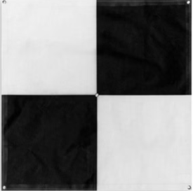
Maximize Accuracy with High-Visibility 48-inch Ground Control Points
Accuracy and precision are important things in aerial surveying and mapping. The use of drone services ranges from construction to environmental management and agriculture. The information gathered is anchored on accurate data provided by drones and aerial imaging. GCPs are important when flying drones for aerial surveys. Since when using GPS, the data that is […]